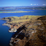
A00145CX2 Loch Don on Mull to Lismore Island
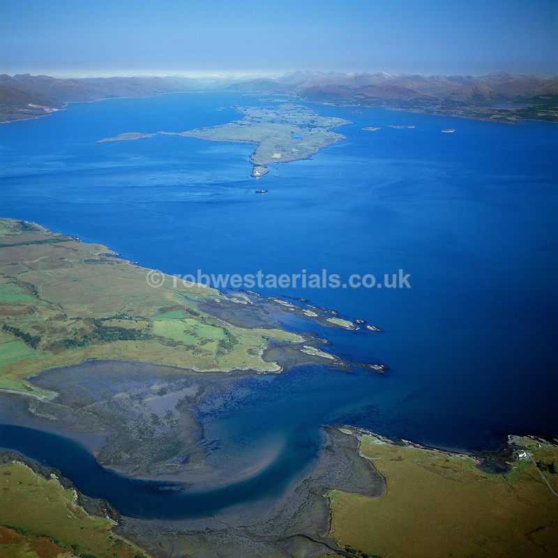
Loch Don is a sea Loch on the eastern coastline of the Island of Mull off the west coast of Scotland. Grass Point, where the white building stands in the bottom right of the picture is at the entrance to the loch. This was the original crossing terminus from the Scottish mainland via the Island of Kerrera. The ferry ran from Barnabuck on Karrera to Grass Point, Achnacraig back then on Mull. The sea to the right of the frame is the northern end of the Firth of Lorn with Loch Linnhe at the top of the frame. They follow a fractured line known as the Great Glen Fault. Viewed looking northeast to Lismore island (top centre).
OS: 56.418687 -5.674423
OS: 56.418687 -5.674423

|