A00382B Tyndrum to Beinn Dorain
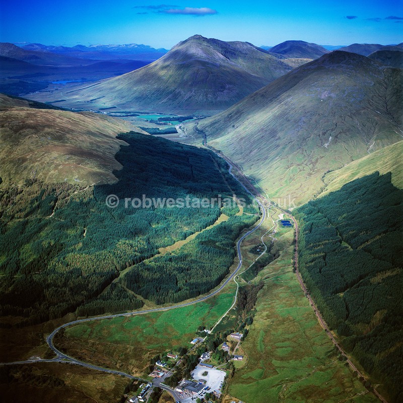
Viewed looking north from above the settlement of Tyndrum. Tyndrum lies between Strath Fillan and Glen Lochy and is on the route of the "West Highland Way" which runs up the centre of the picture to the top beneath the hill of "Beinn Dorain" (centre top). The main road at the bottom splits left to Oban and north "A82" to Glencoe, Ft William and Inverness beyond.
OS: 56.435645 -4.709788
OS: 56.435645 -4.709788


|